CURRENT BRIEFING
2.23.26 – Winter Storm Briefing AM
Winter Storm: 2.23.26 – AM – Final Briefing
Please note that the snowfall graphic in this briefing is for snow from 1 AM this morning onward, and doesn’t include any snow that fell before 1 AM.
Key Messages
●A significant winter storm is underway across the region. Blowing and drifting snow is likely to continue to be an issue through the day time, even after the snow ends. Travel will be very difficult to impossible through the morning.
●Strong winds gusting upwards of 45 mph inland and 60 mph near the coastal areas may lead to additional power outages and tree damage. For the marine, wind gusts of 50-60 knots where the Storm Warning is in effect and 45 knots for the Gale Warning.
●Coastal flooding is also forecast for the Atlantic coast. Widespread minor tidal flooding is expected for the Atlantic Coast and Delaware Bay with the mid day high tide. Localized areas of moderate tidal flooding possible along the back bays. Minor tidal flooding may linger with the high tide cycle tonight.
- High tide from Saturday – Monday
- Safety information
- Snow Removal
- Black ice
- Safety
- No parking on County roads while roads are snow-covered
- ready.nj.gov
- Do not out snow onto the roadway
- SNOW REMOVAL
- Snow Removal
Joe Martucci: Meteorologist – Shorely Safe
Borough Service Alerts
—————————————————
For Monday, February 23, 2026:
Closures: Borough of Highlands offices will be closed due to the severe weather.
School closures: HHRSD will be closed due to inclement weather.
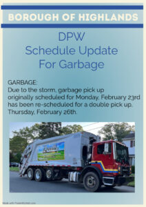
Trash Pick-up: The scheduled collection for Monday has been re-scheduled. A double pick-up will occur on Thursday, February 26th.


