

A low pressure system will bring periods of rain and snow across the region Friday into early Saturday. Some areas will see light snow accumulations. Arctic air overspreads our entire area over the weekend into early next week, and a gusty wind will result in frigid wind chill values.
What’s changed: A Winter Weather Advisory was issued for Carbon and Monroe counties where 1-3 inches of snow may fall with local amounts up to 4 inches.
Hazardous Weather:
Rain/Snow – Snow totals of 1-3 inches with locally higher amounts up to 4 inches for the Poconos, Lehigh Valley, and northwest New Jersey (mainly north and west of I-95). Less than 1 inch of snow is expected across the rest of the region.
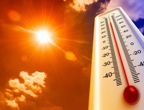
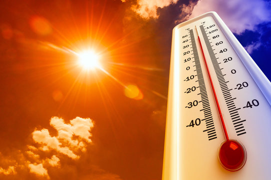
Weekend Arctic Air – Frigid air mass along with breezy winds will cause wind chills to fall into the teens and single-digits; sub-zero wind chills possible for the Poconos.
Locations affected:
Rain/Snow – North and west of I-95 will have the highest chance for snowfall accumulations, but light snow is possible for all locations.
Weekend Arctic Air – The entire region regarding the arctic cold.
Timing:
Rain/Snow – Periods of precipitation begins Friday morning and continues through Friday night into early Saturday morning. All snow will initially be confined to mainly the Poconos and higher elevations of northwest New Jersey, then any rain farther south and east mixes with and changes to some snow Friday afternoon and Friday night. The entire region could see some light snow before it ends as temperatures turn colder by early Saturday morning.
Weekend Arctic Air – Arctic air settles in for the entire weekend and into early next week.
Impacts:
Rain/Snow – Where all snow occurs especially could result in slippery travel Friday into early Saturday morning. Areas that start above freezing and then drop to or below freezing could have icy conditions develop Friday night due to any wet untreated surfaces. The greatest impacts are anticipated to be across the Poconos, Lehigh Valley, and northwest New Jersey (mainly I-78 corridor northward).
Weekend Arctic Air – Extended outdoor exposure to very cold temperatures could become dangerous to people and pets with an increased risk of hypothermia and frost bite. Exposed water pipes have a higher risk of freezing.
Confidence on occurrence:
Rain/Snow: High (70-90%), however lower confidence regarding snow accumulations especially where rain mixes with and changes to snow before ending (timing of these details). If precipitation is a bit heavier and a change to snow occurs sooner, then amounts could be higher than currently forecast.
Weekend Arctic Air: High (over 90%).


