

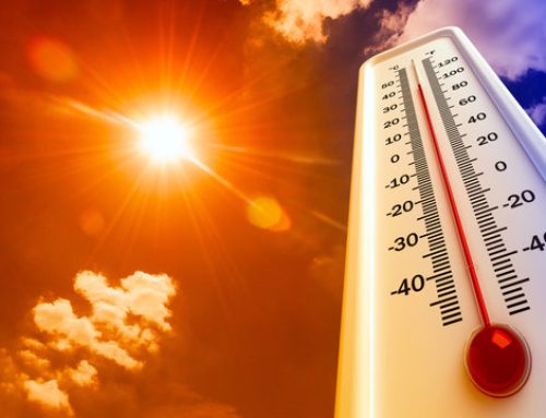
Heat Advisory, Severe Weather Potential for Wednesday June, 26th
We are monitoring a risk for severe weather on Wednesday June 26th 2024. We are also expecting very hot, humid conditions Wednesday with maximum heat indices generally forecast to be around 100 near and south of the urban corridor (except the coast).
Hazardous Weather: High heat and humidity along with the threat of severe thunderstorms.
The primary risk with any severe storms is damaging straight line winds. However a tornado or two will also be possible, especially over our northeast PA zones into NW NJ. Some heavy rain potential also exists which could result in localized flooding, but widespread instances of flooding are not expected.
Locations affected: The entire area is now under a SLIGHT risk (level 2 out of 5) from the Storm Prediction Center. The highest heat indices are forecast to be near and south of the urban corridor (excluding the immediate coast).
Timing: Heat Advisory runs from 9 AM to 9 PM Wednesday. Wednesday late afternoon and evening for severe storms.
Impacts: Tree and wire damage will be possible with any damaging winds. If any severe hail develops, damage to crops, vehicles, and roofs is possible. If any storms produce exceptionally heavy rain, localized flooding is possible. Heat illnesses possible with the high heat and humidity.
Confidence on occurrence: There is fairly high confidence (60-80%) that our region will see thunderstorms on Wednesday. The risk for severe storms is up to 2 out of 5 (slight risk) for our whole forecast area. See attached graphic. High confidence (80-90 percent) on the extreme heat for Wednesday.


